
NREL Explores the Dynamic Nature of Wind Deployment and Land Use
Geospatial Data Science Identifies Trends in U.S. Wind Projects, Technology Development, and Land Use To Inform Technology Innovation and Future Deployments
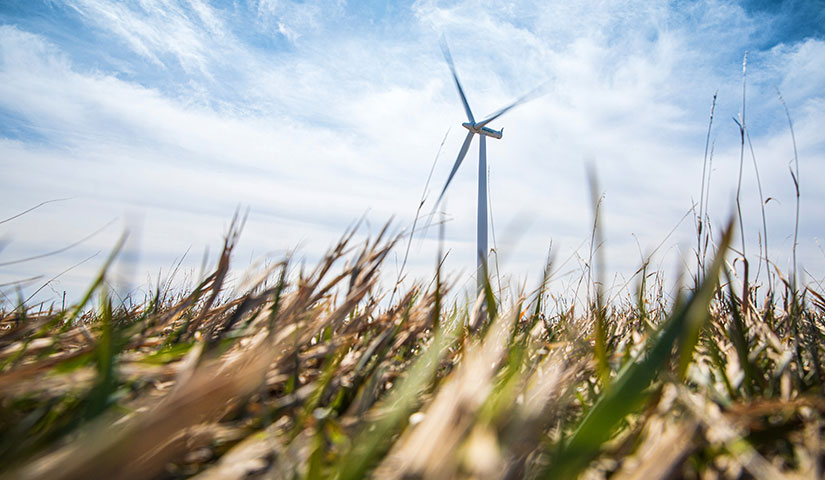
Meeting U.S. decarbonization goals is expected to require rapid deployment of additional wind energy. As more wind is deployed, social and ecological considerations of the surrounding landscape are becoming increasingly important—but research on the land use impacts of wind deployment has been limited.
Through comprehensive spatial analysis of U.S. wind power facilities deployed over the past two decades, the National Renewable Energy Laboratory (NREL) studied the emerging intersection of wind energy deployment and the environment—advancing our understanding of how evolving wind technology and plant design are changing land use requirements.
"The impact of wind power on the landscape is distinct and highly nuanced," said Dylan Harrison-Atlas, researcher at NREL and lead author of an Environmental Research Letters article. "Our data-driven analysis can inform future turbine and plant design and deployments, helping foster society's conservation and decarbonization goals."
A Standardized Methodology
In recent years, many metrics have been proposed to quantify the land use impacts of wind projects, but none have captured the complexity of real-world deployments.
NREL developed a standardized approach using its Renewable Energy Potential (reV) model to evaluate interactions with the surrounding landscape. The approach holistically considers characteristics of the geographic footprint to characterize the nature of impact, proximity to built structures and neighboring wind plants, and accounts for design and life-cycle characteristics of turbines to determine land area requirements and land use intensity.
"It's a flexible approach that we can continue to use to track the dynamic interactions between wind energy and the environment," Harrison-Atlas said.
NREL used this approach to study U.S. wind deployments from 2000 to 2020—highlighting trends in land use that can help researchers, technology designers, land use managers, and policymakers envision future high-wind energy systems that meet clean energy, social, and environmental goals.
Historical Trends in Wind Deployment
NREL finds the total U.S. wind footprint—or the cumulative land contained within the outermost bounds of contemporary U.S. wind plants—is equivalent to the size of New Hampshire and Vermont combined. However, only a small fraction of that area (<1%–4%) is estimated to be directly impacted or permanently occupied by physical wind energy infrastructure.
Last Updated May 1, 2025